3 min read
May the forest be with us
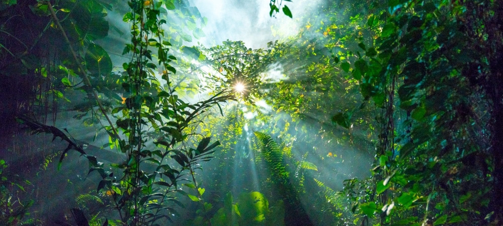
Forests cover one third of the land area on our planet. They’re home to much of the world’s biodiversity, they purify our water and air, and absorb carbon dioxide. But forests around the world are under threat because of deforestation, with millions of acres lost every year – and gone forever.
Various monitoring systems can detect deforestation once it’s happened. What if we could predict where forest will be cut down so we can intervene in time?
The World Wildlife Fund (WWF) has been working to protect forests for more than 50 years. They’ve recently developed an artificial intelligence solution that can predict illegal deforestation before trees are even felled – and we’re helping them bring it to life.
Seeing the wood for the trees
The idea behind WWF’s ‘Early Warning System’ is to connect satellite images and other geographical data with illegal human activity – for example, images of road works near a forest could indicate plans to provide access to devices that cut down trees. This helps local governments take action before it’s too late.
When WWF were looking for a technology partner to further improve and scale the existing solution, we knew we wanted to be a part of it. Since January 2020, a team in the Netherlands has been working on turning the initial prototype into a fully customisable and scalable solution – all thanks to data science and the power of the cloud.
We set up a consortium with Jheronimus Academy of Data Science and Utrecht University, which gives us access to leading researchers, as well as Amazon Web Services (AWS), who provide their cloud platform. And thanks to the Deloitte Impact Foundation, which enables our people to apply their knowledge, skills and talents to benefit society, we put a team of our experts to work on the project.
Data, data, data
The main challenge was monitoring millions of hectares of rainforest, identify varying activities and design effective interventions. Together with our consortium partners, we developed a solution for users on the island of Borneo that can predict illegal deforestation six months in advance. So how does it work? First, we transform raw data into information-rich data – for example locations of roads into nearest roads to a certain area, which may provide easy logging transportation. This is where the cloud comes in. The amount of data we work with is huge, so we work with AWS to process the datasets much faster, as well as scale to larger landscapes.
Next, it’s time to share this information in the most effective way. The predictions are displayed in an interactive interface to help local users identify which ones are a priority. For example, in Kalimantan (Indonesia) we can prioritise predictions depending on whether certain species live in the area – such as orangutangs or clouded leopards – and how much carbon is stored in the trees.
The power of the cloud
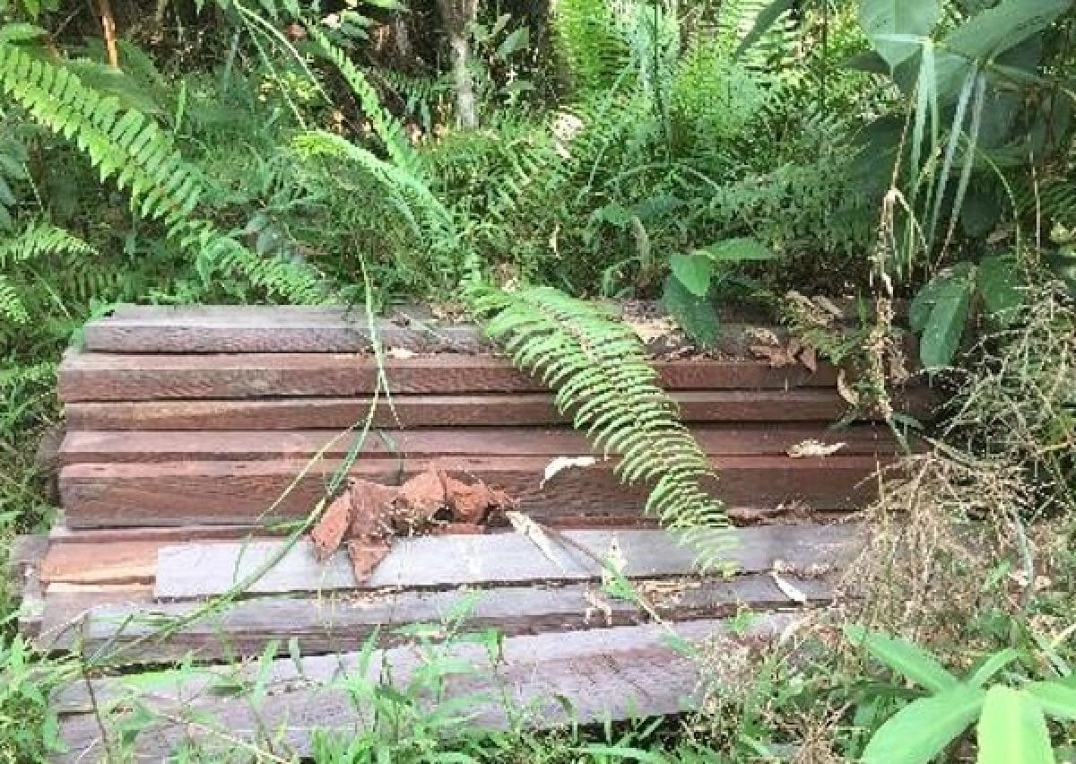
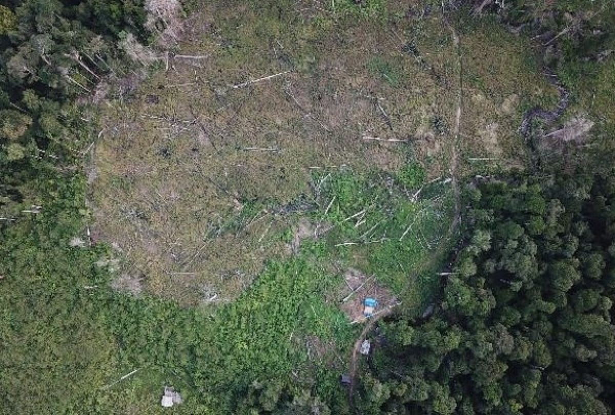
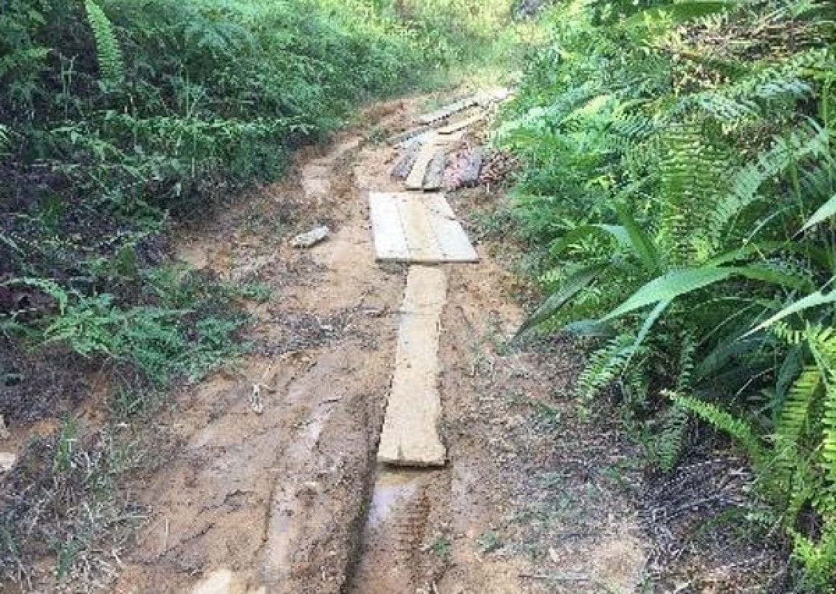
We’ve expanded our scope from Central Kalimantan to a wider area of Borneo over three times as big, including Sarawak (Malaysia). Initial site visits in the pilot area showed signs of possible deforestation. We were able to increase the scalability of the solution through use of cloud-native AWS technologies, improve the model and enhance the user experience by developing a fully custom user interface.
The project was put on hold temporarily due to the COVID-19 outbreak, but the team are looking forward to restarting it, and continuing their work in multiple other deforestation fronts. Using the cloud means that the technology can easily be expanded to other areas at risk.
We’re proud to work closely with WWF and the much wider ecosystem of governments and local actors to make a difference in one of the most pressing issues facing our planet.
"I took a walk in the woods and came out taller than the trees"
Further reading

Mentoring for empowerment
Financial literacy is key to female empowerment. Three volunteers share what it was like to mentor young women at a hackathon in Saudi Arabia.

Leave no trace
Profitability and sustainability can go hand in hand – just look at how our experts are supporting small Danish companies to rethink their businesses for the future.

Leaders never stop learning
Four countries. One team. We’re helping the leadership team at a Nordics telecoms organisation become more agile – ready to take their company into the future.

Hello, how may A.I. help you?
Help often comes from unexpected places – a friendly robot, for example. Wendy helped answer COVID-19 questions from older people across the Netherlands.
Contacts

Share this insight