Smart Mobility has been saved


Close
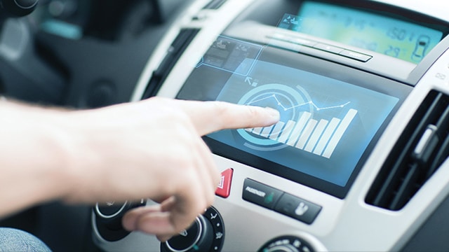
Consumption-based dynamic taxes
Monetizing mileage
Should smart cities switch to a system of charging based on road usage versus the amount of gas purchased?
Transportation revenues are tied to today’s reality of individually owned and operated vehicles—for instance, the need for parking diminishes with the rise of autonomous-drive shared mobility. Agencies may need to evaluate alternatives—e.g., taxing “movement” versus ownership. To protect their revenue base, governments might consider introducing innovations such as mileage-based user fees (MBUFs), charges based on how much one drives rather than how much gasoline is purchased.
Monetization for road usage in the future may be based on time of day, market demand, routes traveled, distance, and even vehicle form, aligning the use of public assets more directly to usage than today’s system.

Close
Dynamic pricing
Maintaining roads and reducing congestion
Instead of using set tolls, learn how dynamic pricing can help cities manage traffic and better maintain infrastructure.
With the rise of mobile technology and the Internet of Things, new dynamic pricing mechanisms that would have been inconceivable just a decade ago are now possible—enabling pricing based on variables as time of day, road congestion, speed, occupancy, and even fuel efficiency and carbon emissions. Such pricing models are based on two key values: Users begin paying a direct portion of the actual cost and prices respond to demand.
By pricing different stretches of road or transit routes differently—based on up-to-the-minute conditions—cities can divert drivers and passengers to cheaper routes, as well as collect payment for what it actually costs to maintain a roadway or system.
Close
Experience enablers
Enhancing the transit experience
Learn how automakers and content providers and partnering to offer customers more entertainment options.
Content providers, in-vehicle service providers, data and analytics companies, advertisers, entertainment equipment providers, and social media companies will likely all clamor to make the in-transit experience whatever we want it to be: Relaxing, productive, or entertaining.
We are already seeing signs of the imminent war for travelers’ attention. Volvo announced a partnership with Netflix in January 2016 to enable livestreaming while in commute. Several automakers have struck deals with content providers to stream audio to vehicles, which could readily extend to video, Web browsing, and other advanced content.
Close
Multimodal transportation planning
Optimizing the route from point A to B
Explore how smart cities are using real-time data to help users find the best mode of transportation.
Technology and data can be used to provide real-time and fully personalized transportation guidance. Smart solutions typically use a combination of time tables and IoT data of public transport to find the optimal way of traveling from point A to point B.
Location-aware apps calculate the distance and walking time to the train, bus, or metro station, to advise the user on the best time to start walking. If the user is not familiar with the route, real–time navigation instructions are provided on the app.
Close
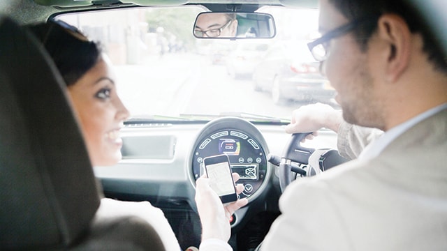
On-demand car services and carpooling
Providing more options for non-drivers
Instead of traditional ride-sharing, could carpooling be the solution to minimize congestion?
On-demand car services tap into the potential of unused vehicles and uses digital platforms and smart apps to allow individuals to sell rides to people requiring transportation. Typical examples are Uber and Lyft, which have grown exponentially through their mastery of digital dispatching platforms. These solutions contribute to convenience and may influence congestion, though the evidence is far from conclusive.
But why include a middleman at all? Carpooling allows people to share their personal cars for commuting at their own convenience. More and more apps are helping broker this sharing. Carpooling lowers commuting costs for individuals and improves congestion while continuing to provide the convenience of point-to-point transportation. Increasingly, the ecosystem of on-demand car services and carpooling offers options for non-drivers such as seniors, low-income families, and minors without licenses.
Close
Self-driving connected cars
Increasing road capacity
How will automated features like self-parking change smart city roadways?
Modern cars are already equipped with many computerized systems to increase convenience and safety. Some of these systems even automate manual actions like parking the car. As truly autonomous vehicles finally start traveling on US roadways, connected car technology strives to help in maintaining smooth traffic, reducing safety distances between cars which ultimately increases the capacity of the road.

Close
Shared self-driving cars
Subscribing to transportation services
Learn how autonomous vehicles could take ride-sharing services to the next level.
Another shared mobility solution that driverless cars will enable is the shared autonomous vehicle fleet. This business model will combine the use of self-driving vehicles with the principles of the sharing economy to establish a large reduction in the total number of cars and parking spaces in the city. Fleet members would not own a car but instead will have a subscription to transportation services. If they need transport, they would use a location-aware app to arrange for it.
An intelligent system would allocate the nearest available self-driving car to the user and pick up the user. If the demand for transportation is low, the cars would automatically park in parking spaces outside the city. This promises to free up parking spaces in the city for other drivers.

Close
Smart parking
Optimizing spaces
Take a closer look at how real-time data could take the hassle out of finding a parking spot.
Finding a free parking space in a large city is often difficult. Smart solutions can be used to optimize the use of parking spaces. More and more cities are installing smart parking solutions to accomplish this goal.
Each parking space is equipped with a sensor that detects whether a car is parked on it or not. The data is used to provide drivers with real time information on the nearest free parking spaces and their price (alternatives). Smart parking eliminates the need for driving around looking for a free parking space, which reduces traffic. Furthermore, if there is no free parking space at all, drivers can decide to change their plans and look for other options.
Close
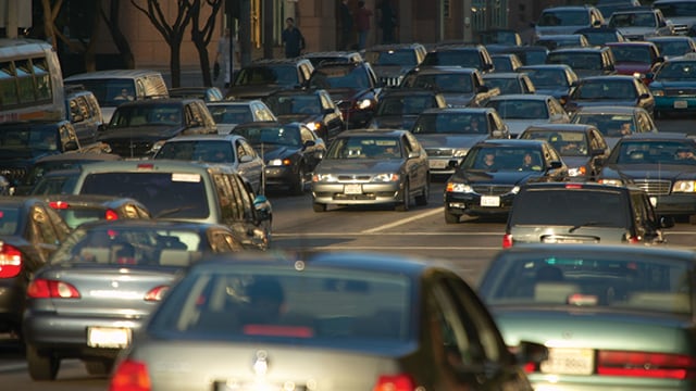
Smart traffic control
Optimizing traffic flow
Learn how sensors and the IoT can enable instantaneous traffic reporting.
Computers have been used for years to monitor road conditions, but advances in sensors and the internet of things are now offering a major leap in monitoring technology. Real-time information optimizes traffic flows. Traffic data collected through sensors coupled with commuter global positioning system (GPS) and Bluetooth allow for instantaneous reporting of traffic conditions. Fine-grained traffic flow data created by sensors in infrastructure and vehicles allow intelligent systems to optimize traffic flow by adjusting traffic lights and other signals.
These traffic control systems can also be used to guide emergency services like ambulances smoothly through traffic by finding the fastest route, keeping bridges closed, and adjusting traffic lights.

Close
Universal travel accounts
Integrating payment systems
How could a universal payment system revolutionize transportation payments?
Travel cards or smartphones enabled with near-field communication (NFC) provide an integrated payment solution for transportation users. Account-based payment systems integrate all forms of transit payments such as bus fares, metro, parking, tolling, and car and bike rentals, thus reducing transaction costs.
Close
Usage-based car insurance
Tracking driving behavior
Learn how driving data can be combined with behavior economics to encourage better driving.
Auto insurers can track the driving behavior of their customers through GPS devices and use the insights for actuarial pricing and segmentation. Such data also can be meshed with insights from behavioral economics to offer customers useful products such as personalized progress reports or performance comparisons with a peer group, encouraging better driving.