Drone Strategy Consulting has been saved

Close

Elevating West Virginia: A Vision for Advanced Air Mobility
January 2024
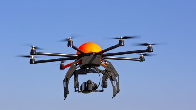
Advanced Air Mobility (AAM) is a step-change in aviation that is revolutionizing the transportation of people, goods, and services throughout the United States and transforming the economy. This report aims to introduce AAM capabilities, highlight and benchmark West Virginia’s current assets and accelerators, identify high-priority AAM application for the state, and outline potential next steps for West Virginia.
Close

Legal and regulatory considerations for implementing drone threat security solutions
November 2021
Regulatory considerations are becoming ever more important to government and private enterprises alike. Here we explain some of the key trends and considerations for organizations considering drone security solutions.
Close

Saving lives from the sky with humanitarian drones in Africa
Considerations for the development of medical drone programs
Deloitte examines key medical applications of drone technologies at the forefront of this modern transportation system and identifies challenges and opportunities that these technologies can help to address.
Close

Assessing the risks of drones and unmanned aerial systems
The uses and applications of UAS are increasing and diversifying.
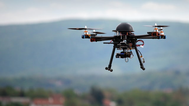
Drones, also referred to as unmanned aircraft systems (UAS), encompass both the unmanned vehicle itself along with the ground-based controller and the system connecting the two. Today the uses and applications of UAS are increasing and diversifying. This expansion is enabled by technological advances, policy changes, and significant cost reduction in parts and manufacturing.
Close

Urban Air Mobility
What will it take to elevate consumer perception?
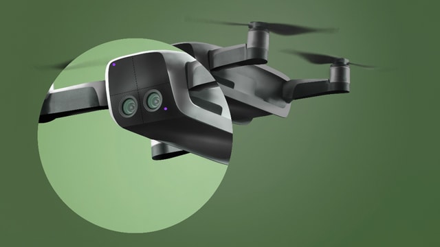
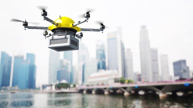
By 2050, about 70 percent of the world population is expected to live in urban areas, and mobility within these cities will likely require new solutions. That’s where urban air mobility (UAM) can make a significant impact. UAM—air taxis hovering in and around cities—could transform how people travel.
Close

Close

InFocus
Insurance industry drone use is flying higher and farther.
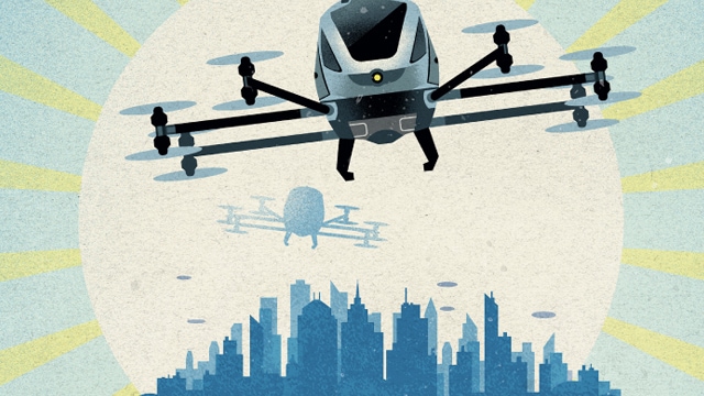
Insurance is among the industries already deploying and expanding the potential of commercial drones, eyeing two strategic objectives: better risk management through improved data collection and reduced operational costs through improved efficiency and effectiveness related to claims.
Close

The elevated future of mobility
What’s next on the horizon?
Breakthroughs in self-driving cars are only the beginning: The entire way we travel from point A to point B is changing, creating a new ecosystem of personal mobility. The shift will likely affect far more than automakers—industries from insurance and health care to energy and media should reconsider how they create value in this emerging environment.

Close

Guiding the IoT to safety
The Internet of Things and the role of government as both user and regulator.
Regulations should do more than tell companies what they can’t do—rules should help guide corporate players through minefields of uncertainty. It’s a lot of responsibility, especially when it comes to still-developing IoT technology that holds great promise—and real risks.
Close

Close

Close

Drones mean business
Advanced software applications are driving commercial drone adoption.
Does your firm routinely need to count, measure, or inspect things, perhaps in locations that are sprawling or hard to access? Then you’re probably already using drones. As software expands their capabilities, we’ll see more drones scrutinizing farms, forests, oil rigs, pipelines, mines, construction sites, and warehouses.

Close

How COVID-19 is challenging orthodoxies in airport customer experience
COVID-19 has had an unprecedented impact on the aviation industry
Airports have already made major operational changes like limiting concessions hours, consolidating terminals and security screening operations, implementing new health and safety measures, and increasing cleaning schedules, among others. Passengers are placing greater emphasis on airport cleanliness and expressing a reluctance to engage in processes that require physical touch.


